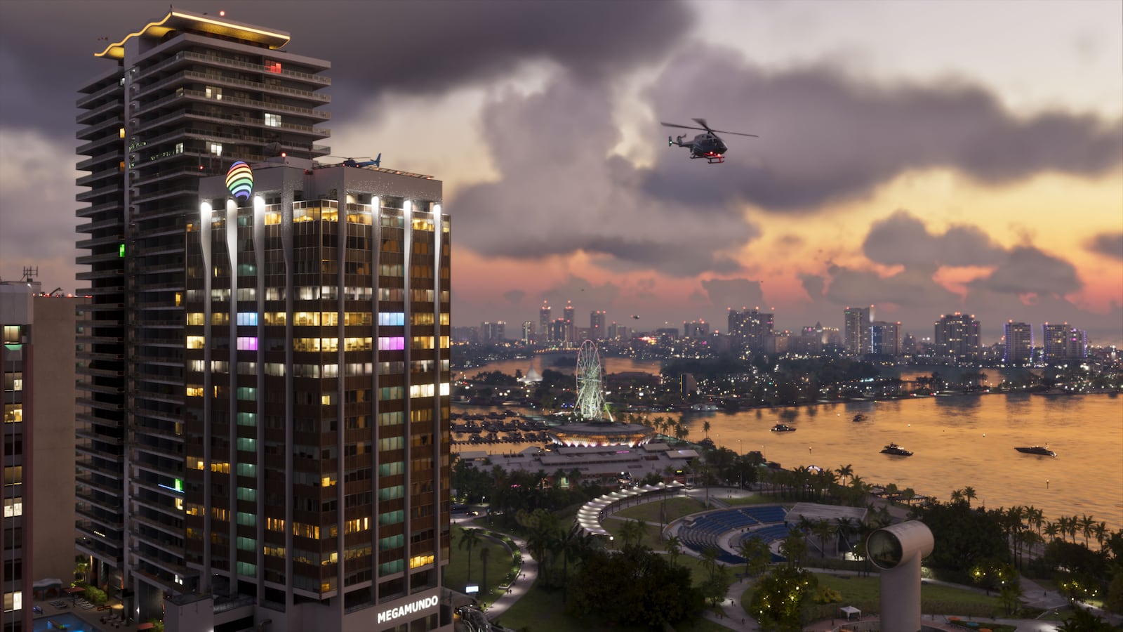
GTA VI returns to modern Vice City but expands beyond it into the state of Leonida. Rockstar has named six major destination groups outside the broad state label, giving players a reliable outline without publishing a complete map.
Vice City
Vice City is the neon-lit metropolitan core and the most recognizable part of the setting. Official images show beaches, high-rise districts, nightlife, waterways and dense road networks.
The important change is scale. Rockstar describes Vice City as part of Leonida rather than the full boundary of the game world.
The southern and coastal regions
The Leonida Keys provide an island and boating environment tied directly to Jason’s background. Port Gellhorn appears as another coastal community with its own visual identity and local economy.
Grassrivers introduces wetlands, wildlife and airboat country. Together these regions suggest that waterways will connect major parts of the state, though exact travel systems remain unannounced.
Industry and wilderness
Ambrosia adds an industrial region to the official list. Mount Kalaga National Park pushes the geography inland with forest, elevation and outdoor recreation imagery that contrasts with the flat coastal city.
These locations make Leonida more than a larger Vice City backdrop. They provide distinct terrain, industries and social environments for the story to move through.
What the official map still hides
Rockstar has not published a complete road map, final world dimensions or a list of every town. Fan reconstructions can be impressive, but they combine visible landmarks with estimates and should not be presented as final geography.
Our location coverage will use the official names as anchors and mark reconstructed boundaries as community analysis whenever map evidence is incomplete.
This guide is independent reporting and analysis. It is not affiliated with or endorsed by Rockstar Games or Take-Two Interactive.